Tropical Storm Sara will bring lots of rain to Honduras as Florida gets relief from cooler temperatures.
The latest storm in the Atlantic hurricane season was still stationary, though the National Hurricane Center in Miami warned of torrential rainfall with life-threatening flooding and mudslides for portions of Central America.
At 7 a.m. Saturday, Nov. 16, Tropical Storm Sara was 25 miles southeast of Isla Roatan Honduras or about 160 miles southeast of Belize City with maximum sustained winds of 45 mph. The storm remained stationary.
According to the National Weather Service, Florida temperatures were in the high 70s to about 81 in the central parts of the Sunshine State and low 70s in northern Florida with lows in the upper 60s to near 70 for central and northern Florida this weekend.
➤ Track all active storms
➤ Weather alerts via text: Sign up to get updates about current storms and weather events by location
Where is Tropical Storm Sara?
A tropical storm warning was in effect for:
The Northern coast of Honduras from Punta Patuca westward to theHonduras-Guatemala border
The Bay Islands of Honduras
The Caribbean Sea coast of Guatemala
The coast of Belize
The coast of Mexico from Puerto Costa Maya southward to Chetumal
A tropical storm warning means that tropical storm conditions are expected somewhere within the warning area.
Interests elsewhere in the Yucatan Peninsula should monitor the progress of this system.
For storm information specific to your area, please monitor products issued by your national meteorological service.
At 7 a.m. Saturday, Nov. 16, the center of Tropical Storm Sara was nearly stationary. A slow west-northwestward motion was forecast to begin late today, with a faster motion toward the west-northwest and northwest expected on Sunday and Sunday night. On the forecast track, the center of Sara will continue to move near the northern coast of Honduras during the next day or so before approaching Belize, and then move onshore in Belize during the day on Sunday.
Maximum sustained winds are near 45 mph with higher gusts. Little change in strength is likely today. Slight strengthening is possible tonight and Sunday before landfall in Belize, with weakening expected after landfall. Sara is expected to dissipate Sunday night or Monday as it crosses the southern portion of the Yucatan Peninsula.
Tropical-storm-force winds extend outward up to 115 miles from the center.
Hazards affecting land
Rainfall: Through early next week, rainfall amounts of 15 to 25 inches with isolated storm totals around 35 inches area expected over northern Honduras. This rainfall will lead to widespread areas of life-threatening and potentially catastrophic flash flooding and mudslides, especially along and near the Sierra La Esperanza.
Elsewhere across the rest of Honduras, Belize, El Salvador, eastern Guatemala, western Nicaragua, and the Mexican State of Quintana Roo, Tropical Storm Sara was expected to produce 5 to 10 inches of rain with localized totals around 15 inches through early next week. This will result in areas of flash flooding, perhaps significant, along with the potential of mudslides.
Wind: Tropical storm conditions are expected in the warning area in Honduras through tonight. Tropical storm conditions are expected in Guatemala, Belize, and portions of Mexico beginning later today.
Storm surge: Storm surge could raise water levels by as much as 1 to 3 feet above normal tide levels along the immediate coast in areas of onshore winds along the northern coast of Honduras. Near the coast, the surge will be accompanied by large and destructive waves. A storm surge could raise water levels by as much as 1 to 3 feet above ground level near and to the north of where the center of Sara crosses the coast of Belize.
In the Gulf of Mexico, a cold front affects Florida
A cold front extending from the Straits of Florida to the central Gulf as stationary to the eastern Bay of Campeche. Some scattered showers and isolated thunderstorms are noted just northwest of the stationary front portion.
For the forecast, the front will wash out over the far southeast Gulf later today with the remnants drifting west as a trough through tonight. High pressure will build in from the northeast with a tight pressure gradient supporting moderate to fresh E to SE winds across the basin by early Sunday, then locally strong from the Yucatan Channel to the Texas coast through Monday. The next front will move into the NW Gulf by early Tuesday, reaching from Apalachee Bay to Tampico, Mexico early Wednesday, with reinforcing fresh to strong northerly winds and large seas across the basin Wed night. Meanwhile, Tropical Storm Sara was forecast to move over the Yucatan Peninsula later today through Sunday, dissipating as it approaches the eastern Bay of Campeche Monday afternoon.
In the Atlantic Ocean, another cold front affects Florida
Another cold front extends from 31N46W to 19.5N55W where it becomes stationary along the north coasts of the Greater Antilles, from Puerto Rico to eastern Cuba. A band of showers with embedded thunderstorms is ahead of the front over the Atlantic waters as well as over portions of the Greater Antilles. Moderate to locally fresh S to SW winds are noted north of 22N ahead of the front to about 42W, where seas are 7 to 10 foot. In the wake of the front, gentle to moderate winds prevail, except moderate to strong north of 25N and west of 60W outside of the front associated with the gale force winds, along with seas of 8 to 11 feet in NW to N swell in the gentle to moderate wind area. Farther E, over the eastern Atlantic, another cold front extends from the west coast of Africa, then becomes a frontal trough. Seas of 6 to 10 feet in NE swell are north of this third front. Seas are 4 to 7 feet across the remainder of the Atlantic waters away from these features, along with mainly gentle to moderate winds, except fresh to strong north of 30N between 12W and 23W.
For the forecast west of 55W, the stationary front will dissipate through tonight before shifting E as a remnant trough ahead of the next cold front. That cold front will reach to the Anegada Passage Sunday while weakening significantly. Very rough seas is following this second front and will through the weekend, with very high seas possible N of 27N between 65W and 75W today and tonight. A reinforcing front or trough may clip the NE waters Tuesday and Tuesday night with increasing winds and building seas. Yet another cold front may move off the SE United States mid-week with another round of increasing winds and building seas.
Weather radar: Will it rain in Gainesville, Jacksonville, St. Augustine, Daytona Beach, Florida?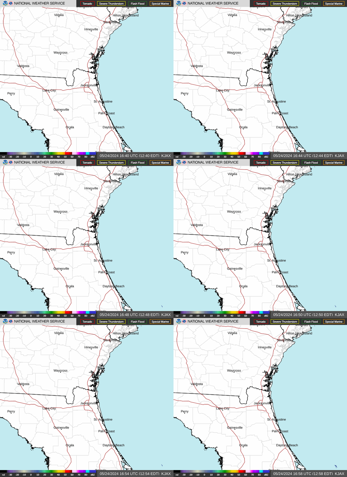

Shown is the National Weather Service radar for Jacksonville area, which shows conditions in real-time for parts of North Florida. The current date and time show up on the bottom right of this radar embed; otherwise, you may need to clear your cache.
Weather radar: Will it rain in Melbourne, Orlando, Lakeland, Tampa, Sarasota, Fort Myers, Fort Pierce, Florida, today?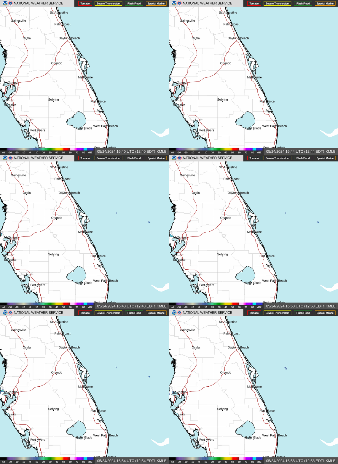

Shown is the National Weather Service-Melbourne radar, which shows conditions in real-time for the Space Coast and other parts of Florida. The current date and time show up on the bottom right of this radar embed; otherwise, you may need to clear your cache.
Weather radar: Will it rain in West Palm Beach, Fort Lauderdale, Naples, Miami, Florida, today?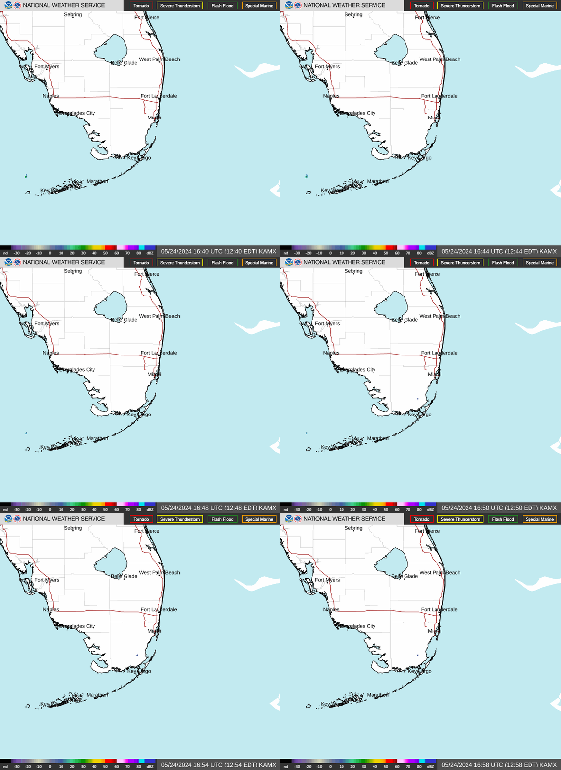

Shown is the National Weather Service radar for West Palm Beach, which shows conditions in real-time for parts of South Florida and the Florida Keys. The current date and time show up on the bottom right of this radar embed; otherwise, you may need to clear your cache.
Weather radar: Will we get showers, thunderstorms, rain in Florida today?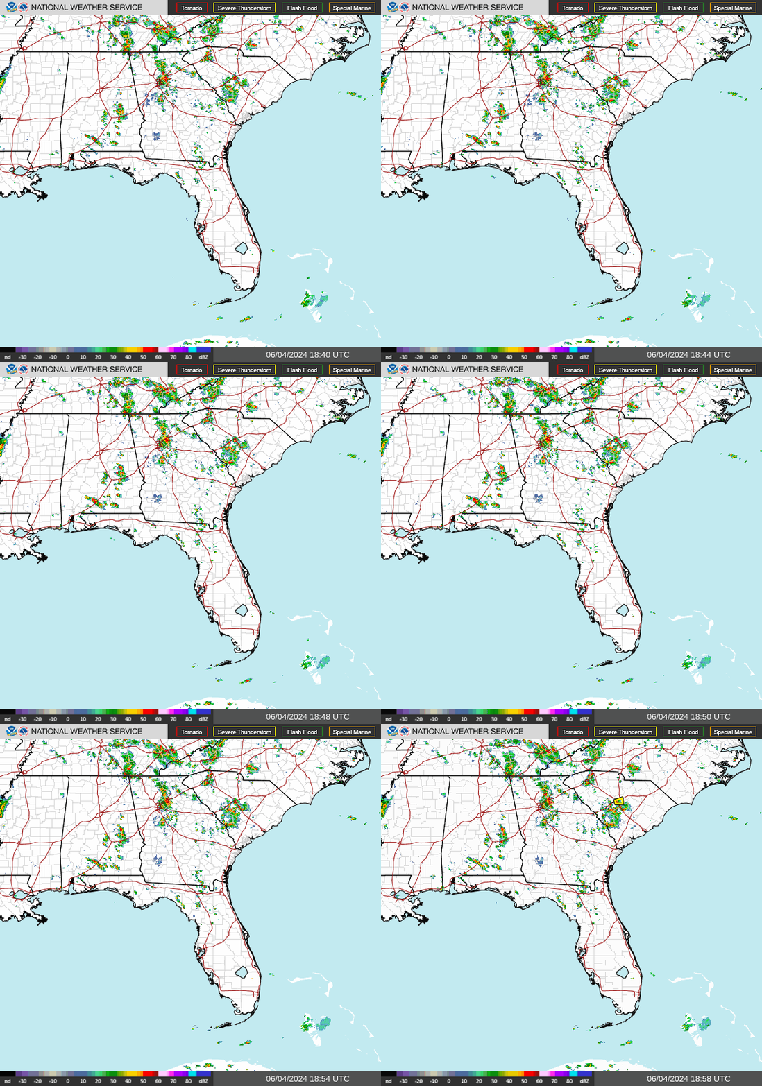

Shown is the National Weather Service radar for the Southeast United States, which shows conditions in real-time. The current date and time show up on the bottom right of this radar embed; otherwise, you may need to clear your cache.
According to the National Hurricane Center in Miami, these are the list of names for the 2024 Atlantic hurricane season:
Alberto
Beryl
Chris
Debby
Ernesto
Francine
Gordon
Helene
Isaac
Joyce
Kirk
Leslie
Milton
Nadine
Oscar
Patty
Rafael
Sara
Tony
Valerie
William
When is 2024 hurricane season over, in Florida and beyond?
The Atlantic hurricane season runs from June 1 through Nov. 30, 2024.
The Atlantic basin includes the northern Atlantic Ocean, Caribbean Sea and Gulf of Mexico.
How bad was Hurricane Milton damage in Sarasota County, and Manatee County, Florida?How bad was Hurricane Milton damage in Fort Myers, Florida?How bad was Hurricane Milton damage in Martin County, Florida?How bad was Hurricane Milton damage in Vero Beach, Florida?How bad was Hurricane Milton damage in Cocoa Beach, Florida?How bad was Hurricane Milton damage in Polk County, Florida?How bad was Hurricane Milton damage in Naples, Florida?How bad was Hurricane Milton damage in Lake County, Florida?How bad was Hurricane Milton damage in Jacksonville, Florida?How bad was Hurricane Milton damage in Volusia County and Flagler County, Florida?Stay informed. Get weather alerts via text
Contributing: Cheryl McCloud, USA TODAY Network-Florida
This article originally appeared on Sarasota Herald-Tribune: Florida weather dips, Tropical Storm Sara brings rain to Central America
Source link : https://news.yahoo.com/news/tropical-storm-sara-remains-stationary-134501992.html
Author :
Publish date : 2024-11-17 13:50:00
Copyright for syndicated content belongs to the linked Source.


