After periodic showers this weekend, next week’s forecast shows a more favorable outlook for producers to get back out in the fields in southern Brazil as well. Both the European and American GFS models show rain showers lingering into Monday, but any showers on Monday will be light. By Tuesday, high pressure from the southern Atlantic Ocean will extend into the region with mostly dry conditions possible through at least next Friday.
The forecast gets more uncertain by next weekend. The European model shows an area of high pressure from Argentina shifting east but a part of a cold front could get cut off by the high pressure. Consequently, a new low-pressure system could form near Uruguay or southern Brazil and lead to scattered rain showers for mainly Rio Grande Do Sul or Uruguay. The American GFS depicts that the cold front will be more progressive and provide a swath of rain as far north as the state of Santa Catarina early next weekend. After the swath of rain moves through, high pressure from Argentina may return towards the second half of the weekend.
In addition to the rainfall, southern Brazil received a shot of cooler weather this week when the front shifted north. Some of the coolest air stayed across Rio Grande Do Sul, where low temperatures consistently approached minus 1 to 5 degrees Celsius (30 to 40 degrees Fahrenheit) in the mornings. Temperatures that are this cold often make it more difficult for wet soil to dry out.
Luckily, increasing temperatures will accompany the drier conditions next week and this should help soil dry out quicker. Temperatures are forecast to gradually warm through this weekend and into next week. High temperatures will be around 15 to 30 C for Sao Paulo and Parana next week. By next Thursday, DTN is forecasting temperatures to approach 5 C above normal across southern Brazil.
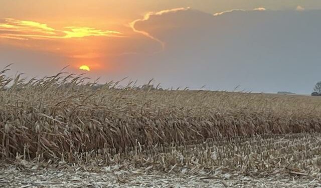
Next week’s forecast looks much more promising for producers in southern Brazil to make progress with the safrinha corn harvest. Central Brazil will likely continue to make steady progress and some states, like Mato Grosso, may come close to wrapping up with harvest. The latest World Agricultural Supply and Demand Estimates (WASDE) report released by the USDA on July 12, estimated that Brazil would produce a total of 137 million metric tons of corn. This estimate remains unchanged from the June WASDE report. If southern Brazil can get larger breaks in rainfall, farmers will likely be able to make steady progress with the safrinha corn harvest as parts of central Brazil get closer to finishing.
To find more international weather conditions and your local forecast from DTN, visit https://www.dtnpf.com/…
Teresa Wells can be reached at [email protected]
(c) Copyright 2024 DTN, LLC. All rights reserved.
Source link : https://www.dtnpf.com/agriculture/web/ag/news/article/2024/07/12/safrinha-corn-harvest-sluggish
Author :
Publish date : 2024-07-12 04:03:00
Copyright for syndicated content belongs to the linked Source.


