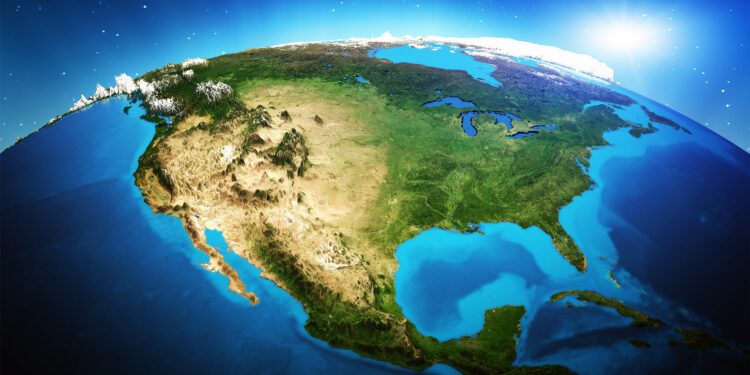
America just got a whole lot bigger. The United States has successfully claimed an additional one million square kilometers beneath the ocean, expanding its extended continental shelf boundaries.
Yes, it’s like America just bought a new basement, one that is almost 60% the size of Alaska.
Mead Treadwell, former lieutenant governor of Alaska and chair of the U.S. Arctic Research Commission, helps us understand the situation.
“America is larger than it was yesterday. It’s not quite the Louisiana Purchase. It’s not quite the purchase of Alaska, but the new area of land and subsurface resources under the land controlled by the United States is two Californias larger,” Treadwell explained.
Understanding Extended Continental Shelf (ECS)
What’s this all about? Well, imagine the ocean as a multi-story building, with each country owning specific floors extending out from their shoreline.
Typically, a country’s rights stop after 200 nautical miles, around the fifth floor. But, the Extended Continental Shelf (ECS) is the rights to the underground parking lot, granting countries authorities over resources beyond the typical 200 nautical miles.
The U.S. began its quest for an ECS back in 2003. This effort, which required teamwork between the U.S. State Department, the National Oceanic and Atmospheric Administration (NOAA), and the U.S. Geological Survey (USGS), was no easy task.
It took them twenty years and involved a massive data collection initiative, but it paid off, big time. On December 19, 2023, the State Department announced new geographical coordinates of the U.S. ECS, adding massive chunks of territory in the Atlantic, Arctic, Pacific, and more.
Science of exploration
This ambitious venture wasn’t just about drawing lines on a map. It required a scientific odyssey of epic proportions.
The areas encompassed in this claim include the Arctic, the east coast Atlantic, the Bering Sea, the west coast Pacific, the Mariana Islands, and two regions in the Gulf of Mexico.
Brian Van Pay, Project Director for the State Department, explained further, saying, “Forty missions at sea, going to areas that we’ve never explored before, finding entire seamounts we didn’t even know existed.”
Scientists spent the equivalent of over three years charting new territory; using sonar mapping, geological sampling, and sediment layer analysis.
The outcome, as Van Pay notes, was a submission that aligns with the 1982 United Nations Convention on the Law of the Sea (UNCLOS) — the legal framework for this claim.
Understanding UNCLOS
The United Nations Convention on the Law of the Sea (UNCLOS), commonly known as the Law of the Sea Treaty, serves as a vital framework governing our planet’s oceans and seas.
Developed through the collaborative efforts of over 160 countries, UNCLOS provides essential legal guidelines for managing marine natural resources, protecting the environment, and defining maritime rights among nations.
UNCLOS was born in the 20th century, driven by the growing exploitation of marine resources and advancements in maritime technology that called for a cohesive set of international rules.
The convention emerged from three United Nations conferences dedicated to the Law of the Sea, with the first occurring in 1956.
However, it wasn’t until 1982 that this pivotal treaty was finalized, officially coming into force on November 16, 1994.
What exactly does this land grab mean?
The implications of this move are multifold. For starters, the U.S. now has the right to control and potentially exploit resources like oil, gas, and minerals in the expanded territory.
However, it doesn’t mean they can suddenly start fishing further off the coast or start patrolling the new water regions. It’s more like the U.S. government won the mineral rights to some underwater property.
The claim has been shaped carefully to avoid stepping on the toes of other nations, particularly Russia. But there might be a bit of an overlap with Canada, which may call for future diplomacy.
Despite the potential gains, challenges persist. The biggest one of these is the lack of a formal ratification of UNCLOS by the U.S. Senate. This gap could potentially limit the international legal weight of the claim.
Moreover, the claim’s validity is dependent on the robustness of the science backing it.
According to Treadwell, “If somebody came back and said, ‘Your science is bad,’ I think the United States would listen. But I don’t think science is bad. I think we’ve had very good science.”
Managing the Extended Continental Shelf
There’s more at stake than just economic gain. The move also widens the U.S.’s jurisdiction to enforce environmental regulations effectively and protect fragile marine ecosystems from unchecked exploitation.
However, balancing these ecological responsibilities with economic interests will prove to be a tricky task.
But, hey, isn’t that part of the thrill? As over 75 countries have already defined their ECS boundaries, it’s clear that the world is entering a new era of ocean governance.
So, will this new territory lead to a scramble for resources, or will it enhance cooperation in managing and protecting the world’s oceans?
Let’s not get ahead of ourselves. For now, America has made a bold move, and the rest of the world is watching.
One thing is for sure, though: how we navigate these waters will affect not only our economy but also the health of our oceans, the climate, and our future.
—–
Like what you read? Subscribe to our newsletter for engaging articles, exclusive content, and the latest updates.
Check us out on EarthSnap, a free app brought to you by Eric Ralls and Earth.com.
—–
Source link : http://www.bing.com/news/apiclick.aspx?ref=FexRss&aid=&tid=66dfa8d731cd41c8847ae1b1e5e4b34e&url=https%3A%2F%2Fwww.earth.com%2Fnews%2Fus-added-over-one-million-square-kilometers-to-its-territory-ecs-unclos%2F&c=8129830462308190770&mkt=en-us
Author :
Publish date : 2024-09-09 14:40:00
Copyright for syndicated content belongs to the linked Source.


