

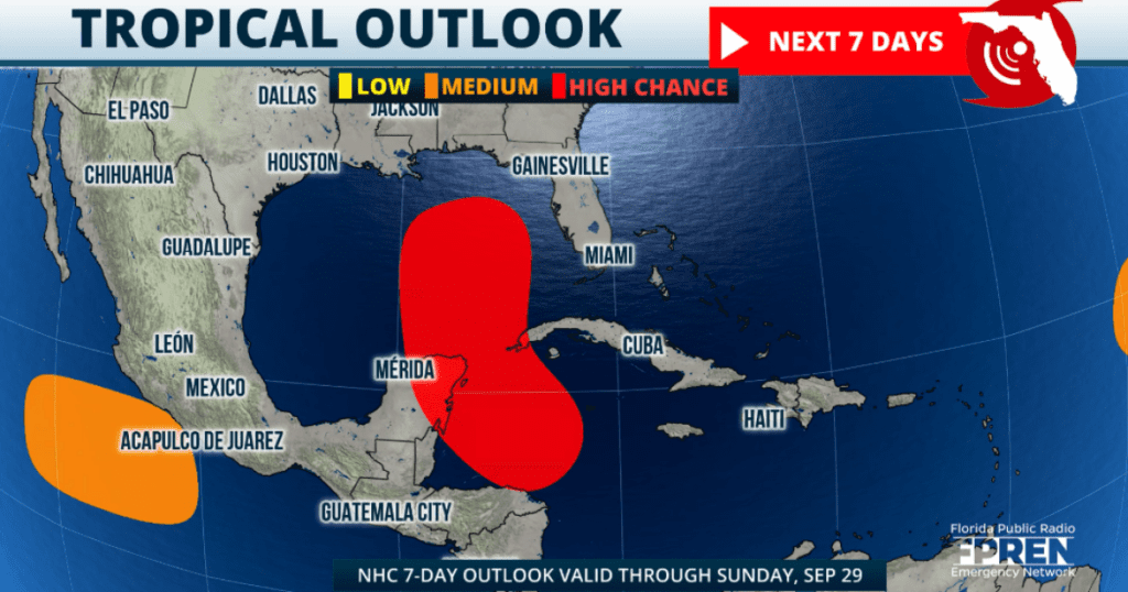
What do we know today (Sunday evening) about Invest 97L?
In the short term, we are looking at a storm that will bring heavy rains to Central America, Jamaica, the Cayman Islands, and western Cuba. For Florida, rounds of rain will arrive as early as Tuesday late afternoon or early evening starting over the keys and moving northward.
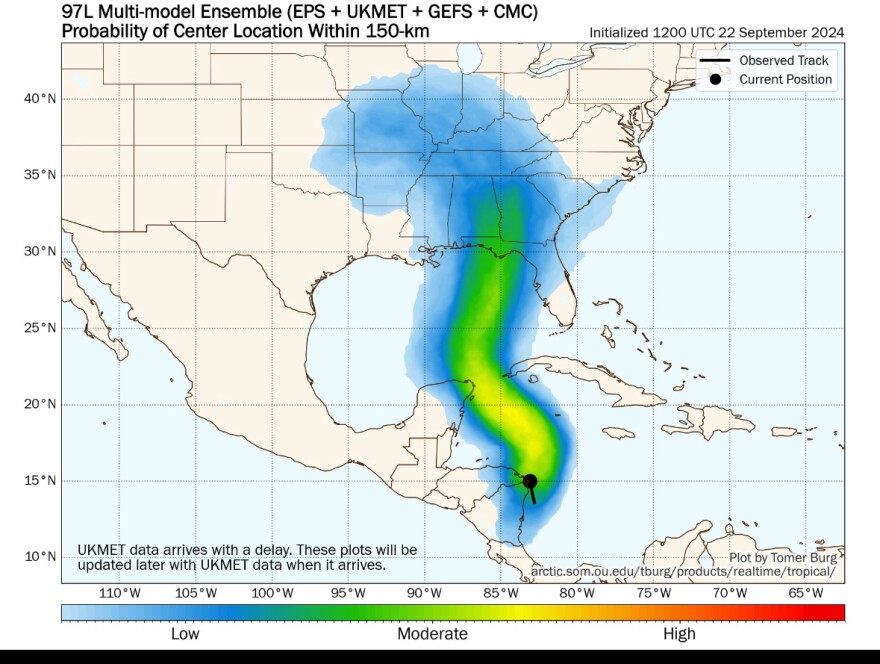

A group of numerical weather models on track of what is Invest 97L (sept 22, 2024)
The big question remains: how close will it get to the west coast of Florida?
Even though there is good agreement in the early ensemble models that this system will likely make landfall in the northern Gulf Coast somewhere between Mobile and the Big Bend of Florida, a more western track would lessen the impacts to Florida. If the system keeps a more eastern track, Florida would see more impacts, meaning rain, wind, and storm surge.
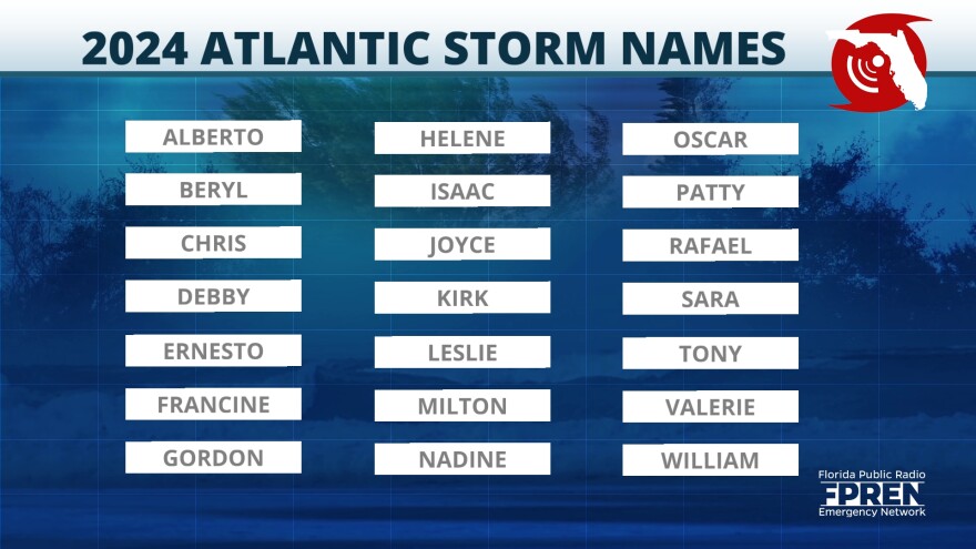
Rainfall, storm surge, and wind forecast will depend on track once this low-pressure becomes a tropical system and goes north. We will monitor it and continue to bring you updates throughout the week. This is a good time to check your hurricane kit and emergency plans. The next name on the list is Helene.

Source link : http://www.bing.com/news/apiclick.aspx?ref=FexRss&aid=&tid=66f2455267d84cf49d3562439d7c9ca9&url=https%3A%2F%2Fwww.wuft.org%2Fweather%2F2024-09-23%2Fwestern-caribbean-tropical-system-what-do-we-know-now&c=13286811514139026345&mkt=en-us
Author :
Publish date : 2024-09-22 17:03:00
Copyright for syndicated content belongs to the linked Source.