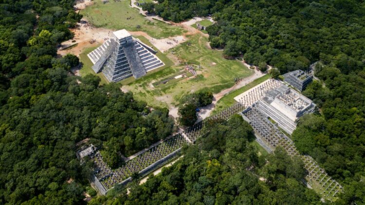
Ikonos, an Earth observation satellite, captured this false-color view of Mayan sites in Guatemala in 2002. The sites are marked by “yellow” forest, which indicates a different spectrum of light given off by the tree cover than undisturbed “red” canopy. (Image credit: Image created by Jesse Allen, Earth Observatory using imagery provided courtesy of Tom Sever and Burgess Howell, Marshall Space Flight Center, and GeoEye)
Houk alluded to “new lidar missions” — their names are currently embargoed as the team finishes peer-reviewed publications — that are helping his team, whose work is co-led by the University of Texas’ Amy Thompson. The satellites are helping the scientists pick up more ruins across a swath of permitted territory in northeastern Belize.
The survey covers a region about 10 times the size of Manhattan: 250 square miles (650 square kilometers). It’s rich in ruins. The team found 28 more monumental sites “in just a couple of days in the lab, staring at the data,” as Houk says, and are planning to follow up on some of the areas with excavations. One planned for next summer will examine canal and water management in the region, for example.
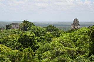
Mayan temples are barely visible in the forest surrounding the Tikal National Park in Peten, Guatemala in a picture taken in July 2024. (Image credit: Johan Ordonez/AFP via Getty Images)
Mayan society not only altered due to pressure from the Spanish, but also as a result of ongoing climate change, as far as numerous studies can determine. Human-induced global warming is one of the most pressing issues for societies worldwide today, leading to accelerating floods and extreme weather; examining Mayan technology may therefore help bring their ancient “lessons learned” to today.
“People and communities adapted to changing environmental conditions and rainfall, designing what appears to be a resilient mosaic of land use,” said Tim Murtha, of the University of North Carolina at Charlotte, speaking of his own team’s independent space study of Mayan technology. Examples included corn-growing terraces, and catchments for conveying and storing water in drought conditions.
Small satellites provide more opportunities for examining Earth’s surface, as they tend to fly closer to our planet; higher orbits require more fuel and money. Flyovers, or “revisits” as the industry terms it, are therefore more frequent with a diminutive cubesat than a larger satellite peering at Earth from a slightly higher altitude.
Other conference presenters paid tribute to companies such as Planet Labs, which have provided some Earth observations particularly valuable for archaeology. But the drawback is cost and access; scientists try to use open data or declassified satellite imagery where possible, as satellite companies also focus on turning a profit for their investors.
Artificial intelligence could play a role in spotting ruins in satellite pictures down the line, but training and getting access to the appropriate algorithms are also expensive difficulties, presenters said. They asked for more education and accessibility to benefit future archaeology investigations.
Source link : http://www.bing.com/news/apiclick.aspx?ref=FexRss&aid=&tid=66faa3f7b47642e7b4995ab4237cea94&url=https%3A%2F%2Fwww.space.com%2Fmayan-ruins-space-archaeology-more-found&c=5740185883952698643&mkt=en-us
Author :
Publish date : 2024-09-30 01:00:00
Copyright for syndicated content belongs to the linked Source.


