Share
Share
Or
https://www.archdaily.com/1018456/the-urbanism-of-tegucigalpa-how-modernist-planning-shaped-honduras-capital
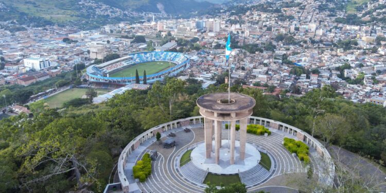
In the first decades of the XXI century, Honduras experienced higher levels of crime and violence compared to its other Central American neighbors. This situation caused the country to be largely avoided by most visitors and investors. However, it didn’t stop Tegucigalpa, its capital city, from experiencing an explosion of residential and office developments which are currently reshaping its skyline. Defined by a unique topography, and tropical weather, the city served as a testing ground for modernist urban principles that contributed to the transformation of a small mining town into one of the largest metropolises in Central America.
 + 6
+ 6
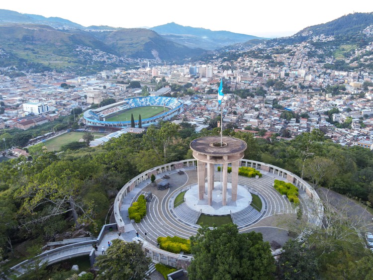
The city is divided in half by the Choluteca River, with its geography featuring two small valleys that host the colonial centers of Tegucigalpa and ComayagĂĽela. These valleys are surrounded by El Picacho Mountain to the north and numerous hills and slopes that are home to most of the city’s residential activity, this geographical setup creates a unique landscape with natural barriers and elevation changes that shape Tegucigalpa’s layout and influence the urban planning and infrastructure.
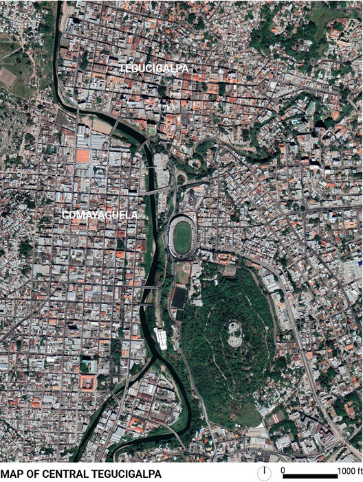 Map of central Tegucigalpa. Image via Google Maps, under policy of fair use
Even though Tegucigalpa was made capital in 1880, it was during the mid-20th century that the city rapidly grew due to heavy migration from rural areas. However, it was not until 1975 that it implemented “Metroplan”, its first formal urban development scheme. It projected the city’s growth until the year 2000 and deeply influenced the way we experience its urban environment today. During this time, the old Spanish central square was expanded, and new pedestrian streets were designed and implemented. The plan also restructured the city into strict monofunctional zones connected by long major boulevards. All of it was heavily influenced by new modernist urbanistic ideas that were carried out in cities across Latin America, such as Brasilia.
Related Article Six Interviews to Understand Latin American Architecture
This modernist movement greatly contrasted with the neoclassical style prevalent in the late 1800s and early 1900s. During that period, the government aimed to elevate Tegucigalpa into a capital city, using Neoclassical architecture and public spaces to promote a new national identity for the newly independent nation. This architectural shift was part of broader efforts to redefine the city’s image and establish its significance as the heart of the country.
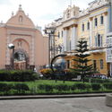
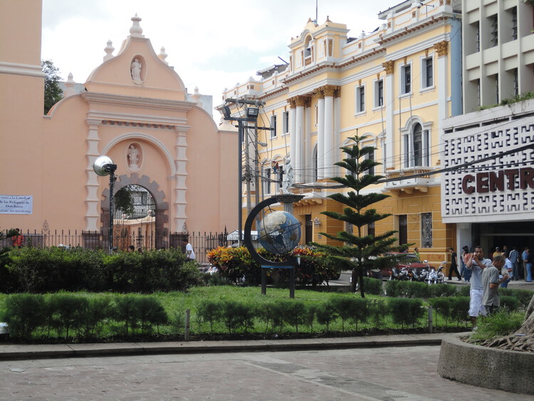 Contrast between colonial, necolassical and modernist architecture in Morazan Plaza . Image © Moises Carrasco
When Metroplan was implemented, it not only organized the city’s mobility for the first time in its history, but also targeted the historical center by launching a large-scale refurbishment process. However, this effort had unintended consequences. Through this process, many traditional social and economic activities were moved to the periphery, where they found a new home in malls along the newly built boulevards and ring roads around its many hills.
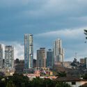
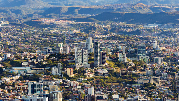 Overview of the new office and residential towers in contrast with the topography. Image © Wirestock via Shutterstock
Despite the city planners’ good intentions, this new Honduran modernism, just as in many other cases in Latin America, ended up appearing as non-integrated, punctual, selective interventions scattered around the historical landscape. This not only contributed to segregating the cities into formal and informal sectors, but in the specific case of Tegucigalpa, it also opposed the neoclassical style of its past. Leading to the demolition of parts of the old town that were considered obsolete, to make way for large modernist towers, tunnels, and roads.
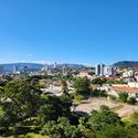
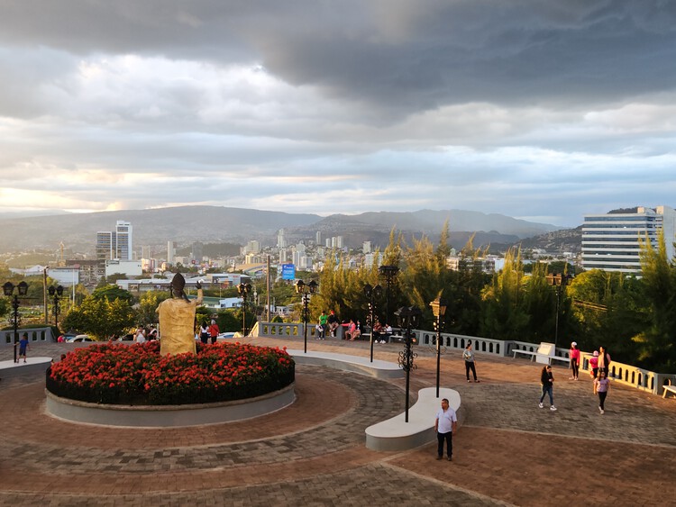 Overview of the city skyline from Suyapa Hill. . Image © Moises Carrasco
One of the most famous examples is the intervention in the colonial Plaza Los Dolores. It encompassed the demolition of a traditional market and the construction of a tunnel below the church which was never fully completed. Â Along with these changes, the church itself was modified with two annexes built on each of its sides, demolishing its original Spanish buttresses.
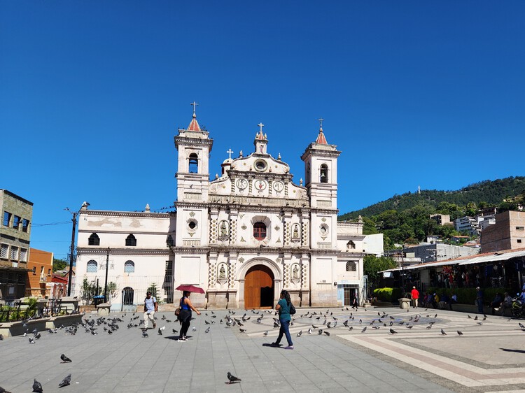 View of the current status of Plaza los Dolores. Image © Moises Carrasco
Nevertheless, today the legacy of Metroplan is having an unexpected turn. As part of its zoning laws, it located most formal residential areas on the city’s central hills. Today, these are becoming the stage for the construction of many residential towers. Together with office developments along the main boulevards, they are creating a unique new skyline thanks to the ups and downs of the sloping terrain.
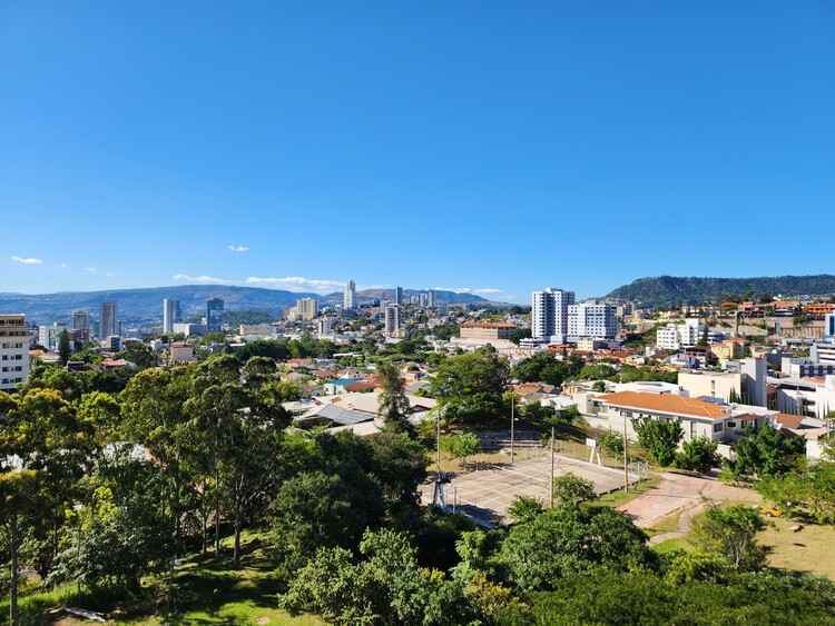 Overview of the city skyline with El picacho mountain as backdrop . Image © Moises Carrasco
However, as the country grows and develops, Tegucigalpa remains central to the cultural and political scene in Honduras, representing the heart of a nation that is slowly but surely finding its way out of a violent past. In this regard, many challenges still lie ahead. As the city’s population approaches 2 million inhabitants, it becomes necessary to draft and implement new plans to tackle issues such as revitalizing the historic center and integrating informal mountain communities into the city. Actions like these could greatly shape Tegucigalpa’s architectural and social fabric for the future.
Related Article Six Interviews to Understand Latin American Architecture
Source link : http://www.bing.com/news/apiclick.aspx?ref=FexRss&aid=&tid=66b48610f61e4ba19c8e8b16e3d93f60&url=https%3A%2F%2Fwww.archdaily.com%2F1018456%2Fthe-urbanism-of-tegucigalpa-how-modernist-planning-shaped-honduras-capital&c=7225780965363734358&mkt=en-us
Author :
Publish date : 2024-08-07 21:00:00
Copyright for syndicated content belongs to the linked Source.

