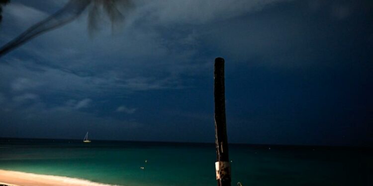
Potentially catastrophic wind, waves and storm surge are expected.
July 1, 2024, 10:31 PM ET
• 5 min read
Hurricane Beryl regained its Category 4 status as it slammed into Carriacou Island in Grenada with maximum sustained winds of 150 mph, leaving at least one person dead, officials said Monday night.
Beryl made landfall in Carriacou at 11:10 a.m. ET as an “extremely dangerous” storm, according to the National Hurricane Center. The cyclone hit Carriacou with maximum winds that were just 5 mph short of Category 5 status, the most powerful hurricane on the Saffir-Simpson Hurricane Scale.
At least one person died on Bequia Island after Hurricane Beryl passed through St. Vincent and the Grenadines, the Prime Minister of St. Vincent and the Grenadines said following Monday evening.
Bequia is the largest island in the Grenadines, approximately nine miles from the nation’s capital, Kingstown, on the main island, Saint Vincent.
Prime Minister Ralph Gonsalves says there may be more deaths, but right now, one death has been officially confirmed.
Before making landfall, the storm was gaining strength as it headed toward the Windward Islands, which also include Grenada, St. Vincent, Grenadines and Petite Martinique.
The hurricane has caused extensive damage to schools, homes and buildings, farmlands and properties in the region, officials said Monday.
Communication is down in some parts of the country, so authorities still don’t know the full extent of the damage.
Union Island in Saint Vincent and the Grenadines suffered severe damage, with 90% of houses on the island being impacted and the Union Island airport roof being blown away in the storm.
Gonzalves is set to visit the Grenadine Islands on Tuesday.
Over the weekend, Beryl went from a tropical depression to a major Category 4 hurricane in just 48 hours, becoming the earliest Category 4 on record for the Atlantic Basin, breaking the record Hurricane Dennis held from July 7, 2005. Beryl is the first Category 4 ever recorded in the month of June.
Members of the Trinidad and Tobago Regiment arrive ahead of Hurricane Beryl at Tobago’s A.N.R. Robinson International Airport in Crown Point, Trinidad and Tobago June 30, 2024. Jermaine Cruickshank/Trinidad Express via Reuters
The hurricane was downgraded Sunday evening to a Category 3, but picked up power and speed over warm ocean water and was upgraded to Category 4 Monday morning.
Ocean temperatures in the area where Beryl is located are 2 to 3 degrees above normal for this time of the year. Such temperatures are usually not seen until September.
Beryl is moving west at 20 mph. Some fluctuations of strength are expected but Beryl is forecast to remain at major status through the day as it passes the Windward Islands. A life-threatening storm surge is expected to raise water levels by as much as 6 to 9 feet above normal tide levels in areas of onshore winds near where the eye makes landfall in the hurricane warning area. Near the coast, the surge will be accompanied by large and destructive waves.
Beryl is expected to produce rainfall totals of 3 to 6 inches across Barbados and the Windward Islands through Monday afternoon. The Grenadines and Grenada could see up to 10 inches of rain and may experience flash flooding in vulnerable areas.
Strong winds blow as Hurricane Beryl approaches Bridgetown, Barbados on July 1, 2024.Chandan Khanna/AFP via Getty Images
Beryl will continue to track toward Jamaica, reaching near the island on Wednesday. Even if Beryl doesn’t make a direct landfall in Jamaica it will be close enough to cause issues.
After that, Beryl will move over the Yucatan Peninsula and then likely into eastern Mexico after another stint in the Gulf.
Source link : https://abcnews.go.com/amp/US/hurricane-beryl-track-forecast-caribbean-islands-storm-surge/story?id=111569678
Author :
Publish date : 2024-07-01 22:45:56
Copyright for syndicated content belongs to the linked Source.


