
Suriname (officially, the Republic of Suriname) is divided into 10 administrative districts (distrikten, singular – distrikt).In alphabetical order, these districts are:Brokopondo, Commewijne, Coronie, Marowijne, Nickerie, Para, Paramaribo, Saramacca, Sipaliwini and Wanica. These districts are further subdivided into 63 resorts.
Covering an area of 163,820 sq. km, Suriname is one of the smallest sovereign nations in South America. Situated in the northern part of the country, on the banks of the Suriname River, at the Atlantic coast is, Paramaribo – the capital, the largest and the most populous city of Suriname. It is also the country’s chief port and the administrative, industrial, cultural and tourism center of Suriname.
Where is Suriname?

Suriname is a small country located on the northern edge of South America. It is geographically positioned both in the Northern and Western hemispheres of the Earth. It is bordered by Brazil to the south; by French Guiana to the east; by Guyana to the west and by the North Atlantic Ocean to the north.
Suriname Bordering Countries:
Guyana, Brazil.
Regional Maps: Map of South America
Outline Map of Suriname
Key Facts
Legal Name
Republic of Suriname
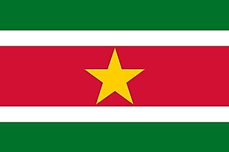
Flag
Capital City
Paramaribo
5 50 N, 55 10 W
Total Area
163,820.00 km2
Land Area
156,000.00 km2
Water Area
7,820.00 km2
Population
581,372
Currency
Surinamese dollars (SRD)
GDP
$3.99 Billion
GDP Per Capita
$6,854.91
This page was last updated on February 25, 2021
Source link : https://www.worldatlas.com/maps/suriname
Author :
Publish date : 2021-02-25 03:00:00
Copyright for syndicated content belongs to the linked Source.


