Exploring the US Virgin Islands: Maps and Facts Unveiled
As travelers seek new adventures in paradise, the US Virgin Islands continue to capture the imagination with their stunning landscapes, rich history, and vibrant culture. Nestled in the Caribbean, this enchanting territory offers a captivating blend of beautiful beaches, lush islands, and intriguing historical landmarks. In this article, we delve into the essential maps and factual insights that reveal the unique geography and key characteristics of the US Virgin Islands. From St. Thomas’ bustling Charlotte Amalie to St. John’s pristine national parks, discover how these islands, shaped by their complex past, are paving new pathways for tourism and local communities. Join us as we uncover the geographical treasures that make the US Virgin Islands a remarkable destination in the heart of the Caribbean.
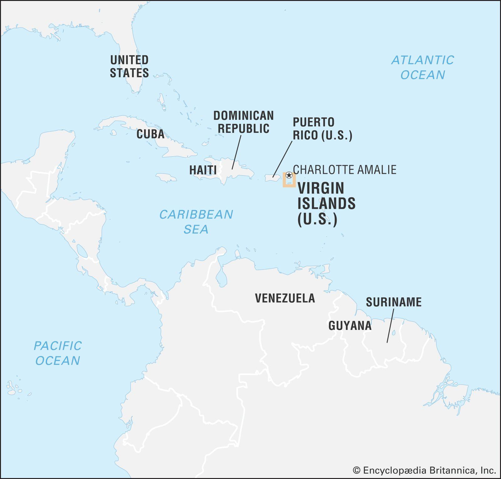
Exploring the Geography of the US Virgin Islands Through Detailed Maps
The US Virgin Islands, an exquisite archipelago in the Caribbean, offers a stunning blend of natural beauty and cultural richness. By examining detailed maps of the islands, one can appreciate the unique geographical features that shape this tropical paradise. Notably, the islands consist of three main components: Saint Thomas, Saint John, and Saint Croix, each boasting its own distinctive landscapes and attractions. From the mountainous terrain of Saint Thomas, where the famous Magens Bay is located, to the lush, national park-covered slopes of Saint John, and the historic sugar plantation remnants of Saint Croix, the topographical diversity is extraordinary. A detailed map reveals not only these stunning sites but also the intricate coastline dotted with secluded beaches and vibrant coral reefs.
In addition to natural wonders, the maps of the US Virgin Islands provide insight into the rich cultural tapestry evident in the towns and communities throughout the islands. Key areas highlighted on these maps include:
- Charlotte Amalie: The bustling capital of Saint Thomas, known for its historical architecture and vibrant market.
- Cruz Bay: The charming gateway town of Saint John, characterized by its laid-back atmosphere and proximity to pristine hiking trails.
- Christiansted: A historical town in Saint Croix that showcases Danish colonial history through its well-preserved buildings.
Moreover, the islands are equipped with numerous infrastructural elements such as ports, beaches, and hiking paths, all illustrated comprehensively on the maps. Understanding the geography of the US Virgin Islands through these detailed representations allows travelers to better navigate and appreciate the myriad experiences awaiting them amidst this Caribbean jewel.
Key Facts About the US Virgin Islands to Enhance Your Travel Experience
The US Virgin Islands, a tropical paradise in the Caribbean, is more than just a stunning destination; it’s a cultural melting pot with a rich history. When planning your visit, keep in mind the following essential facts that paint a picture of this vibrant archipelago:
- Geography: The islands consist of three major islands-Saint Thomas, Saint John, and Saint Croix-along with numerous smaller islets.
- Climate: The region enjoys a tropical climate with an average temperature of 80°F (27°C) year-round, making it ideal for outdoor activities.
- Language: English is the official language, but local dialects and Spanish are also commonly spoken.
- Currency: The US dollar is the official currency, simplifying transactions for American travelers.
Visitors will find the islands rich in attractions and activities that highlight their natural beauty and historical significance. Tourists should not miss:
| Attraction | Location | Highlights |
|---|---|---|
| Magens Bay | Saint Thomas | Stunning beach, crystal-clear waters |
| Trunk Bay | Saint John | Snorkeling underwater trail, lush surroundings |
| Christiansted | Saint Croix | Historical sites, vibrant nightlife |
Navigating the US Virgin Islands: Essential Tips and Recommendations for Tourists
Exploring the US Virgin Islands can be a thrilling experience, but being well-prepared is key to maximizing your time in this tropical paradise. Among the most important tools for any traveler is a detailed map. The islands of St. Thomas, St. John, and St. Croix each offer unique attractions and must-see locations. It’s advisable to grab a physical map or download an offline version on your smartphone, as internet connectivity may vary across different areas. Before setting out, consider these tips:
- Familiarize yourself with public transport options: The public bus system operates on every island and is both cost-effective and an excellent way to mingle with locals.
- Plan your visits during off-peak hours to avoid crowds at popular locations like the Virgin Islands National Park.
- Respect local customs and wildlife, especially in national parks and reserves, to ensure a safe and enjoyable visit.
Additionally, awareness of the local climate can greatly enhance your travel experience. The US Virgin Islands enjoy a tropical climate, which means planning around the rainy season-typically from May to November-can help you avoid unexpected downpours. For those looking to experience the rich history and culture of the islands, aim to include a visit to the following historical sites:
| Location | Highlight |
|---|---|
| Fort Christian (St. Thomas) | Oldest standing structure in the Virgin Islands |
| Annaberg Sugar Plantation (St. John) | Insight into the islands’ sugar trade history |
| Christiansted National Historic Site (St. Croix) | Preservation of 18th-century Danish colonial architecture |
By keeping these recommendations in mind and being equipped with the right tools, your journey through the US Virgin Islands can seamlessly blend relaxation, adventure, and cultural discovery.
In Retrospect
In conclusion, the US Virgin Islands emerge not only as a tropical paradise but also as a region rich in cultural heritage and geographical significance. With a diverse array of maps available, travelers and researchers alike can navigate the islands’ stunning landscapes, vibrant communities, and historical landmarks with ease. As we continue to explore the intricacies of this Caribbean territory, it becomes clear that understanding its geographic nuances is essential for appreciating its unique allure. Whether you’re planning a visit or seeking to enrich your knowledge, the maps and facts presented here from WorldAtlas serve as vital resources on your journey through the US Virgin Islands. Stay informed, and let the beauty of these islands inspire you to discover more about this remarkable corner of the world.


