Cows have cellphones, and the U.S. Bureau of Land Management is their service provider. Go ahead, read that again.
Ranchers and range managers have historically monitored herds on horseback, and more recently on all-terrain vehicles, to make sure grazing happens in the right place at the right time. Virtual fencing technology, enabled by wireless-connected collars on livestock and base stations constructed high in the mountains by BLM and other partners, now allows for herds to be monitored online and for grazing patterns to be managed via signals through their collars. Like your dog’s invisible fence, but with a coverage area of 50,000 acres.
And what better innovator could there be for Western livestock than the BLM, the federal agency that manages one in every 10 acres in the United States?
A growing number of ranchers in Colorado are using virtual fencing to optimize their businesses, and BLM Colorado is working to accelerate use of this technology with new resources from the Foundation for America’s Public Lands. The environmental benefits could be considerable.
Ranchers can draw a box on their online map to target grazing in one pasture and then slowly move the box to the next pasture. Collars can steer herds away from sensitive natural areas. Barbed-wire fences that injure wildlife and disrupt migrations can be reduced or removed.
BLM can work with ranchers to target grazing in specific areas to consume grasses that present a wildfire risk. One system in western Colorado is being used to carefully manage grazing in threatened Gunnison sage-grouse habitat, and another to move livestock away from the trailhead of a popular 14er during peak days.
Beyond connecting cows, BLM is spearheading other technological advancements in rural Colorado. The Rio Grande Natural Area extends for nearly 20 miles along the river in the San Luis Valley, providing habitat for numerous wildlife species, including the endangered southwestern willow flycatcher. In recent years, horses and cattle trespassing on public lands damaged natural resources in the area.
Livestock trespass is difficult to address, as staff must determine if the livestock is feral or has an owner, and must gather evidence of trespass. To address this challenge, staff at BLM’s San Luis Valley Field Office developed a cellphone app that allows over a dozen staff members to continuously monitor and document livestock trespass as they complete other work.
Using the app, BLM staff documented over 120 trespass livestock (domestic animals grazing illegally on public land) in some months in 2022. Now that BLM can identify and cite those who misuse federal public lands, only a handful, if any, trespassing animals are observed each month.
BLM is also working to provide more flexibility to livestock producers using new science and technology to maintain healthy landscapes. While the grazing permit renewal process can be time-consuming, BLM Colorado is over the halfway mark in renewals, with 772 of the 1,482 permits in the state updated with current environmental analysis.
The bureau’s new Public Lands Rule allows for the use of watershed condition assessments, pairing on-the-ground data with information from detailed satellite imagery to provide baseline information on the health of multiple grazing allotments at a time. Armed with this new information, BLM can prioritize the most important areas for renewals and provide incentives to producers who are stewards of public lands and adjacent private lands.
Technology also benefits wildlife management on BLM lands. Colorado Parks and Wildlife has collared hundreds of elk, mule deer and bighorn sheep in the state, providing insight into migration data that can be used to prioritize conservation of the most important landscapes.
Hunters pursuing big game animals now have sophisticated mapping technology on their cellphones, enabling them to find and access public land that saw little visitation in the past. BLM Montana partnered with the mapping app onX to provide information about hundreds of access points unknown to the public, and other BLM states will soon do the same.
Technology is transforming how BLM manages public lands, from virtual fencing to cellphone apps to remote-sensing data from satellites. Pat Luark, a longtime BLM grazing permit-holder and early-adopter of virtual fencing technology, says it best: “Can you imagine where we’ll be in 10 years?”
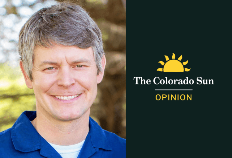
Doug Vilsack, who lives in Denver, has worked as the Bureau of Land Management’s Colorado state director since 2022.
The Colorado Sun is a nonpartisan news organization, and the opinions of columnists and editorial writers do not reflect the opinions of the newsroom. Read our ethics policy for more on The Sun’s opinion policy. Learn how to submit a column. Reach the opinion editor at opinion@coloradosun.com.
Follow Colorado Sun Opinion on Facebook.
Type of Story: Opinion
Advocates for ideas and draws conclusions based on the author/producer’s interpretation of facts and data.
Source link : http://www.bing.com/news/apiclick.aspx?ref=FexRss&aid=&tid=66f51a3825de4de9aed012114cd123f6&url=https%3A%2F%2Fcoloradosun.com%2F2024%2F09%2F26%2Fopinion-colorado-blm-tech-public-lands%2F&c=1181496175063294702&mkt=en-us
Author :
Publish date : 2024-09-25 20:30:00
Copyright for syndicated content belongs to the linked Source.
